Satellite remote sensing technologies and tools for Navigation Position and Timing Alex Efimov, KTN.
11
Satellite remote sensing technologies and tools for Navigation Position and Timing Alex Efimov, KTN
-
Upload
mavis-ball -
Category
Documents
-
view
228 -
download
2
Transcript of Satellite remote sensing technologies and tools for Navigation Position and Timing Alex Efimov, KTN.
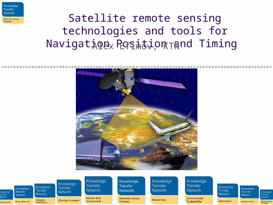
Satellite remote sensing technologies and tools for Navigation Position and
Timing Alex Efimov, KTN
KTN Fun Facts
Σ(KTN)n=15 =THE KTN as of the 1st of April 2014
• Chairman: David Lockwood, Laird Plc
• CEO: Chris Warkup• Workforce: 110• Office locations: Edinburgh,
Runcorn, Harwell, Cambridge, London, Horsham
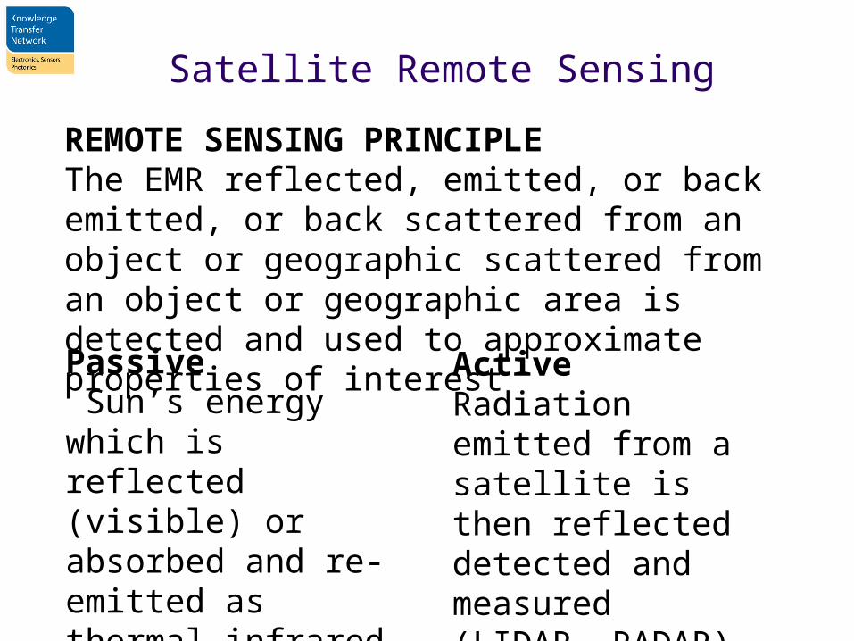
Satellite Remote Sensing
REMOTE SENSING PRINCIPLEThe EMR reflected, emitted, or back emitted, or back scattered from an object or geographic scattered from an object or geographic area is detected and used to approximate properties of interest
Passive Sun’s energy which is reflected (visible) or absorbed and re-emitted as thermal infrared wavelengths
ActiveRadiation emitted from a satellite is then reflected detected and measured(LIDAR, RADAR)
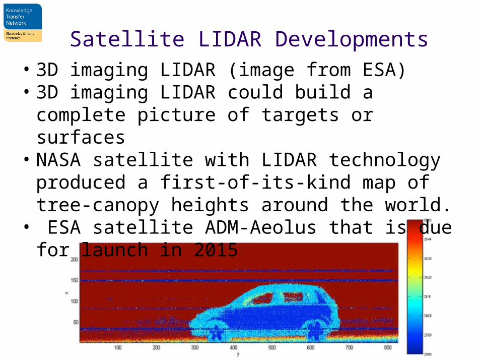
Satellite LIDAR Developments• 3D imaging LIDAR (image from ESA)• 3D imaging LIDAR could build a complete picture of
targets or surfaces• NASA satellite with LIDAR technology produced a first-
of-its-kind map of tree-canopy heights around the world.
• ESA satellite ADM-Aeolus that is due for launch in 2015
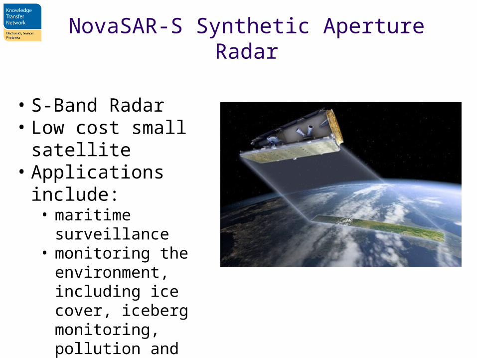
NovaSAR-S Synthetic Aperture Radar
• S-Band Radar• Low cost small satellite• Applications include:• maritime surveillance• monitoring the
environment, including ice cover, iceberg monitoring, pollution and bathymetry
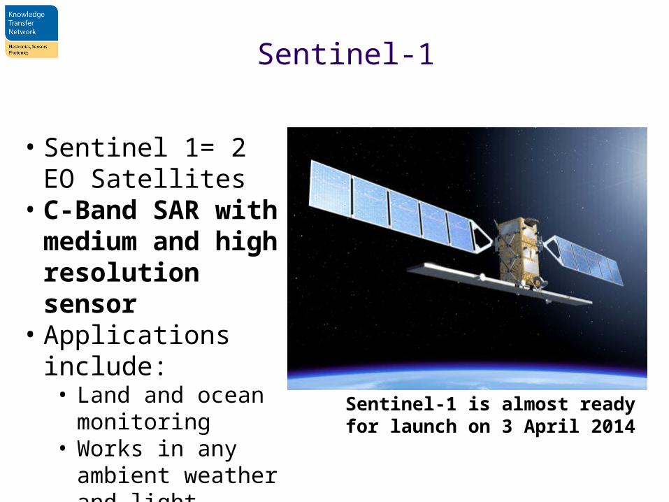
Sentinel-1
• Sentinel 1= 2 EO Satellites
• C-Band SAR with medium and high resolution sensor
• Applications include:• Land and ocean
monitoring• Works in any ambient
weather and light conditions
Sentinel-1 is almost ready for launch on 3 April 2014
Positioning, Navigation and Timing
Global Navigation Satellite Systems:
• GPS (US, military controlled)• GLONASS (Russia, military controlled)• European Geostationary Navigation Overlay
Service (EGNOS) (EU, regional, GPS overlay, civilian)
• Beidou (China, currently regional, expected to become global by 2020)
• Galileo (EU, global, civilian, expected by 2020)
What accuracy do you need?
• GPS signal in space will provide a "worst case" pseudorange accuracy of 7.8 meters at a 95% confidence level. Depends on receiver and ambient environment conditions (www.gps.gov)
• GLONASS results based on a real life test with various navigation receivers showed the maximum error of 38m and the average error 7.32m.
• EGNOS allows users in Europe and beyond to determine their position to within 1.5m
Reliability Issues
Potential causes for disruption:• Obscuration: foliage, buildings, power lines,
tunnels, etc.• Electronic interference natural or malicious • Space weather
Mitigation:• EGNOS: ground based segment + GEO satellites• Alternative positioning references: WiFi and
similar • Inertial navigation
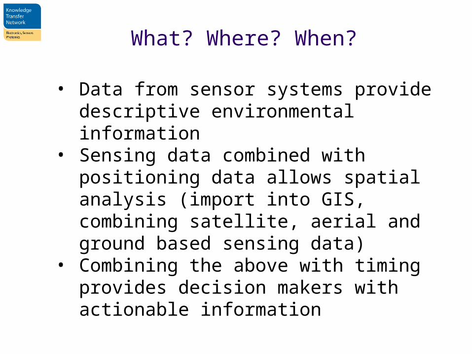
What? Where? When?
• Data from sensor systems provide descriptive environmental information
• Sensing data combined with positioning data allows spatial analysis (import into GIS, combining satellite, aerial and ground based sensing data)
• Combining the above with timing provides decision makers with actionable information
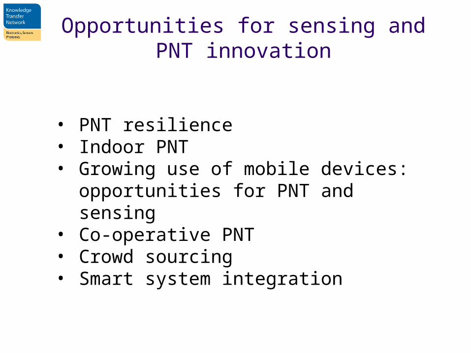
Opportunities for sensing and PNT innovation
• PNT resilience• Indoor PNT• Growing use of mobile devices: opportunities
for PNT and sensing• Co-operative PNT• Crowd sourcing• Smart system integration